
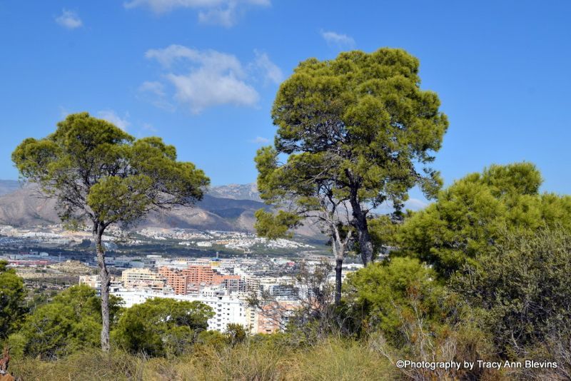
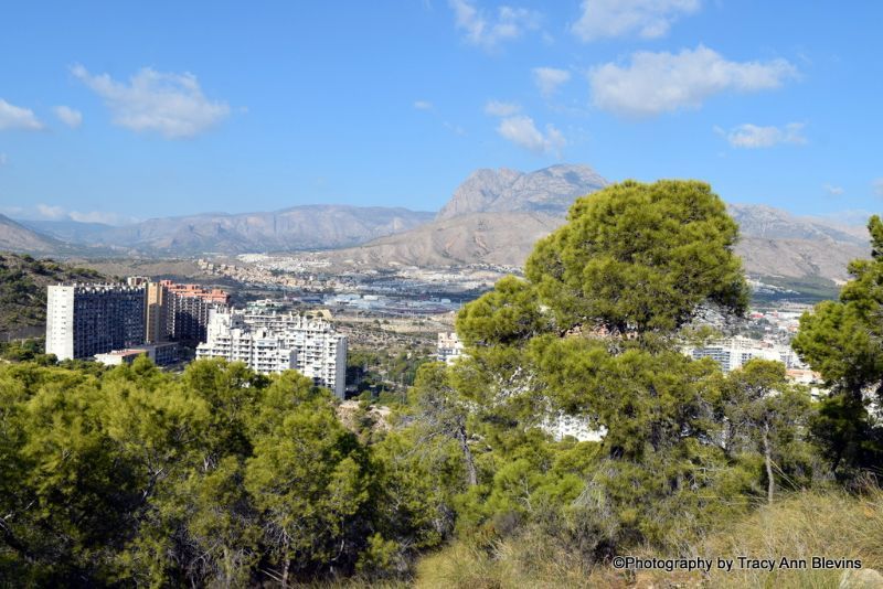
Walks in and around Benidorm
Walks in and around Benidorm - Benidorm is much more than just bars, there is something here for everyone and if you enjoy walking there are some fabulous places to enjoy a relaxing stroll, along the beach or in the marvellous local parks or if feeling more adventurous hill/mountain walking.
Benidorm Beach front walks
The obvious choice for many and here in Benidorm itself we are lucky enough to have 2 fantastic beaches that are just perfect for a stroll anytime of the day or night, both have plenty of bars to pop into for refreshments.
Levante Beach, also known as Sunrise Beach
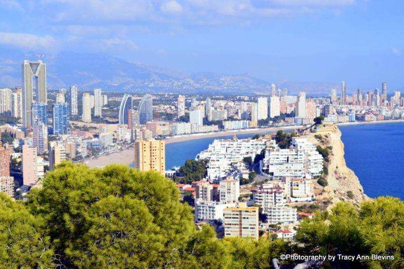
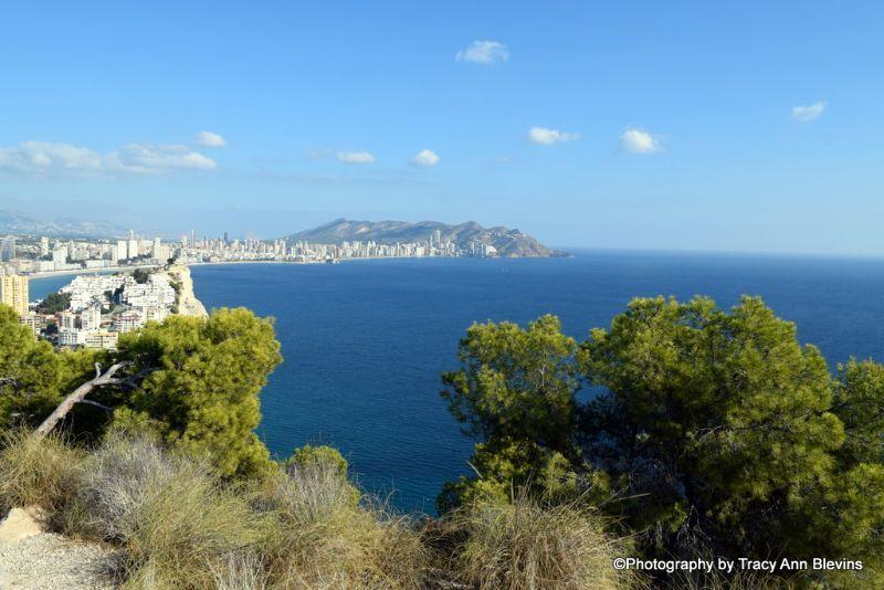
Levante Beach in Benidorm runs for almost 2km from Punta Pinet to Punta Canfali, Levante Beach is one of the best-known beaches in Europe, the beach is south facing, so enjoys the sun all day and is classed as a Blue Flag Beach. This is the busiest beach in Benidorm. There are hundreds of bars and restaurants along the promenade offering everything from just ice creams to live music and everything in-between.
Poniente Beach, known as Sunset Beach
At more than 3km long Poniente Beach is the longest beach in Benidorm, making it an ideal place to stroll along during the day or evening, it is usually much quieter and features a new modern promenade designed by the architect Carlos Ferrater, there are a wide selection of restaurants, bars and clubs.
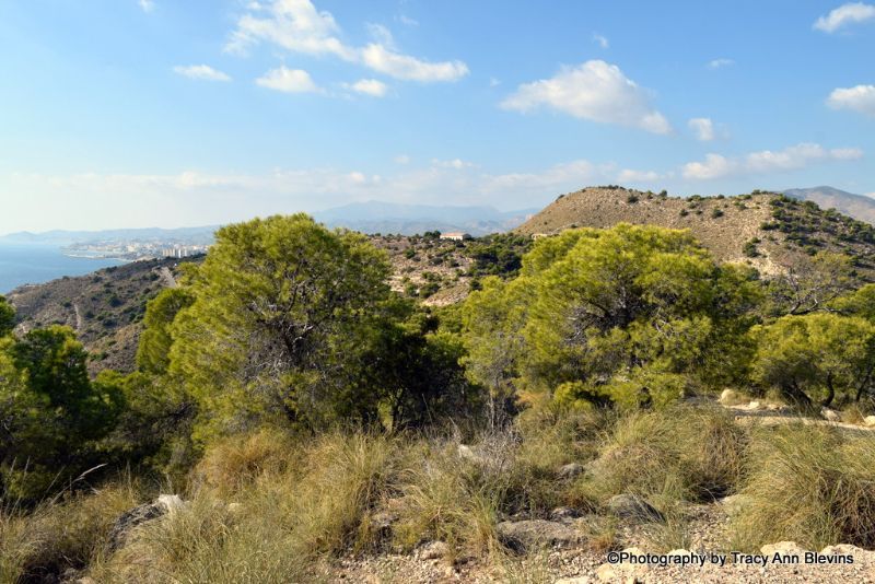
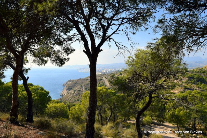
Mountains and Beaches enjoy the Sierra Helada/Geleda
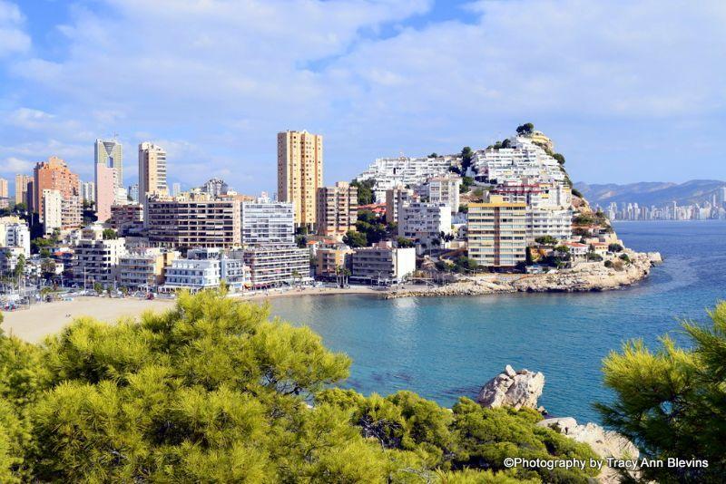
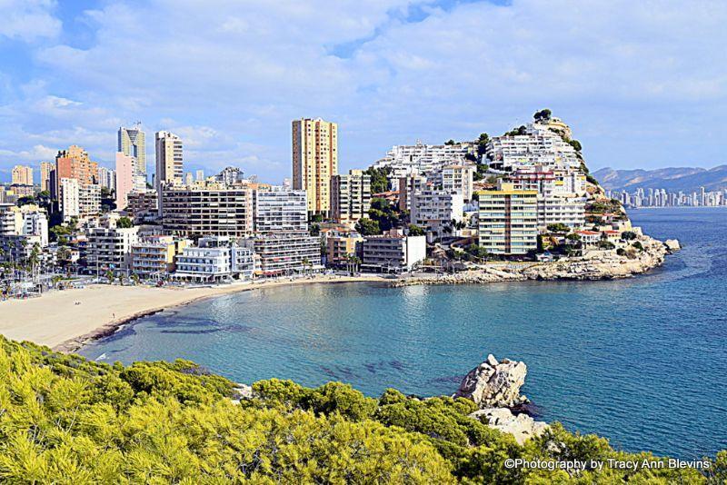
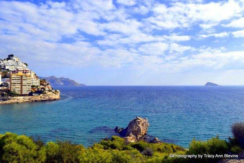
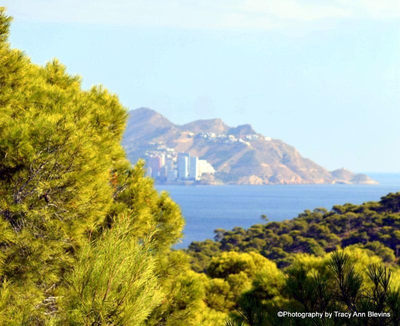
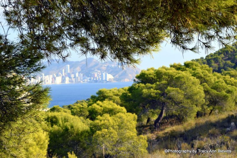
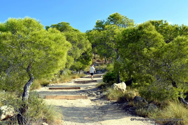
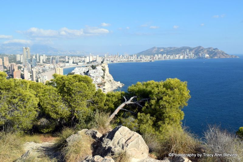
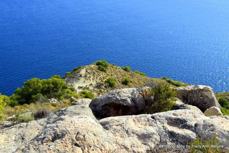
Follow the coast road round from Levante beach (to the North of Benidorm) and you will come across two wonderful coves, Cala Almadrava and Tio Ximo both these small coves are situated at the base of the steep cliffs of the Sierra Helada, and enjoy the stunning views. Follow the road down to Tio Ximo cove and you will see a path to the left, this leads to a lovely look out point to enjoy the views looking out to sea and over Benidorm itself.
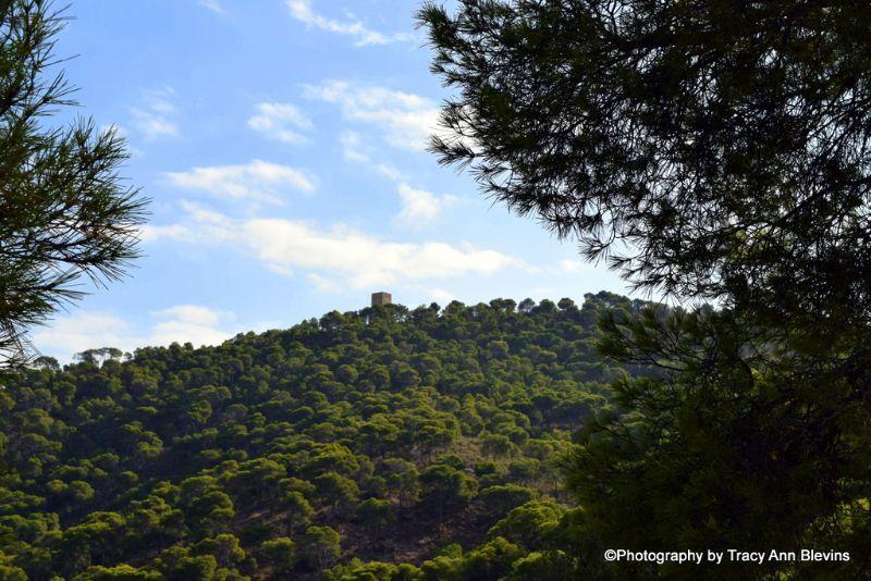
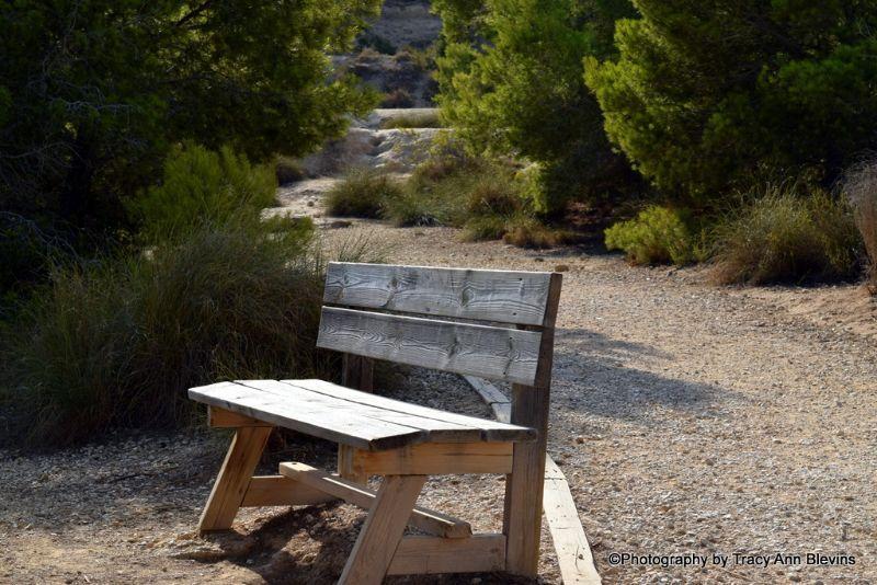
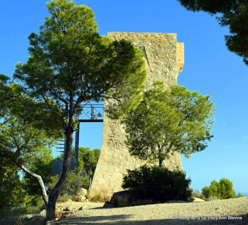
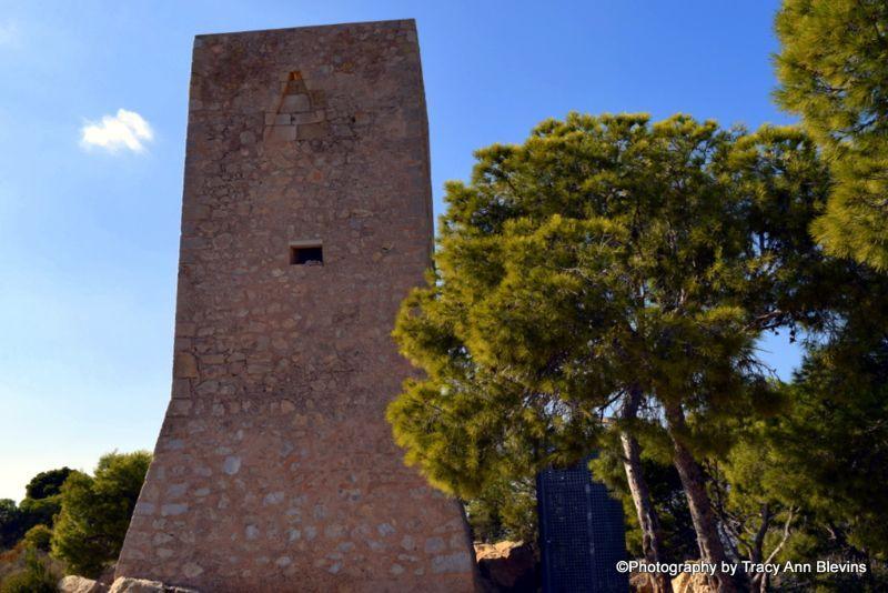
For a slightly longer walk just at the top of the Almadrave cove you will see another entrance to the Sierra Helada, this is a great walk with stunning scenery and leads to the Punta del Cavall watchtower. This route is about 3 km round trip, and can be done in an hour, there are a few seats to stop, rest and enjoy the views along the way.
Walk to Benidorm´s famous Cross, La Cruz.
The views from the cross (La Cruz,) are spectacular both day and night, it is well worth a visit just to see the stunning scenery across Benidorm and the surrounding area.
It is situated at the top of the Sierra Gelada Natura reserve and stands around 438m above sea level.
There are various routes to get to The Cross from the town depending upon where you are, from somewhere such as The Flash Hotel the shortest walking route is about 2.6km and would take about 45 minutes for someone quite fit, bear in mind that it is ALL uphill. Read about the history of the cross and find maps here.
Walks in and around Benidorm
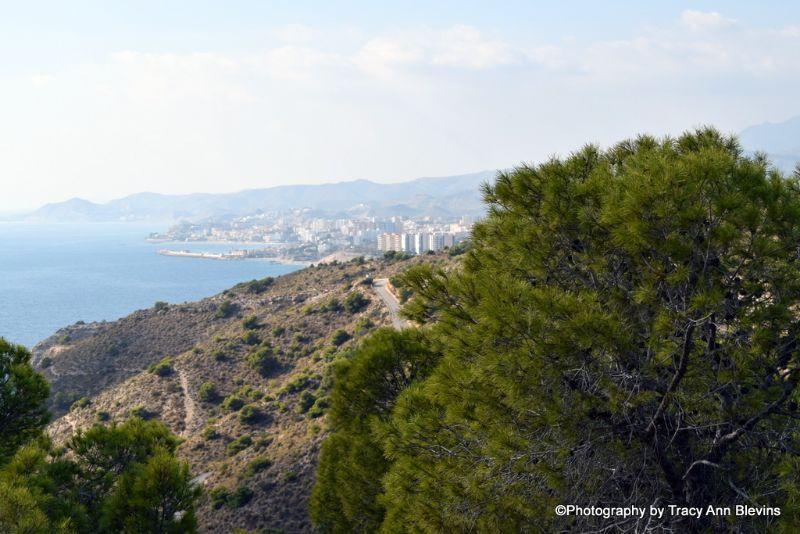
Albir to Altea or vice versa
This is another seafront walk enjoyed by many, catch the number 10 bus to either Altea or Albir and follow the coast Road. Both Albir and Altea have lots of lovely bars and restaurants along the route. More information about Albir and Altea. From the seafront of Albir to the port at Altea is about 2.5 km and takes around half an hour.
Albir Lighthouse

The lighthouse can only be reached on foot (or bike) and the walk to it is started from the entrance to the Sierra Helada natural park. There is a large car park as well as a new visitor centre, which is open most days. To reach the natural park from the anchor monument on the seafront, take the road above it (Opp the Correos Post Office) and head uphill, following the road for around 600m. The entrance to the car park is at the top of the street. Distance approx 4.5 km round trip, Easy/moderate terrain, Approx time 1 hour.
Walks in and around Benidorm
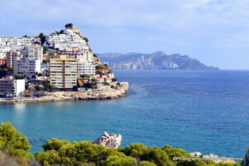
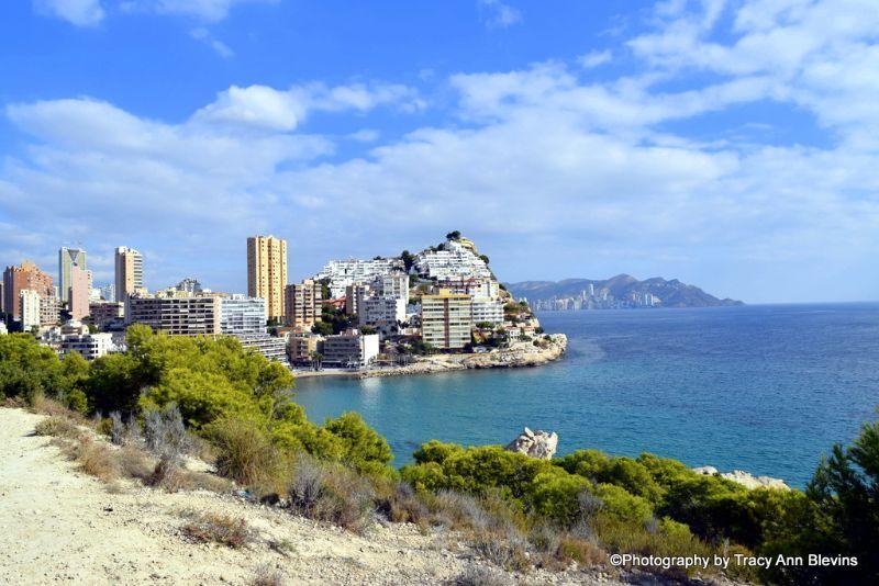
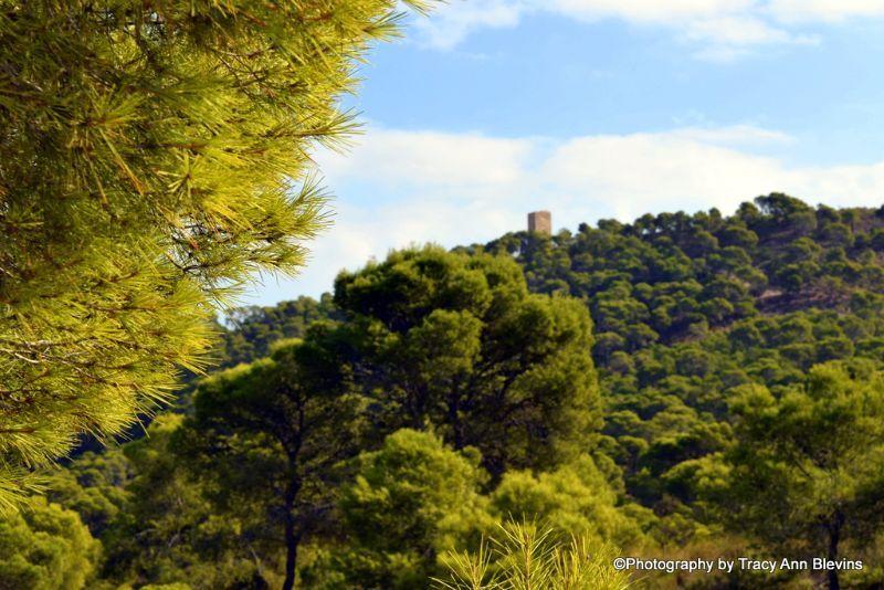
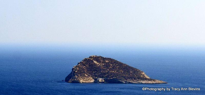
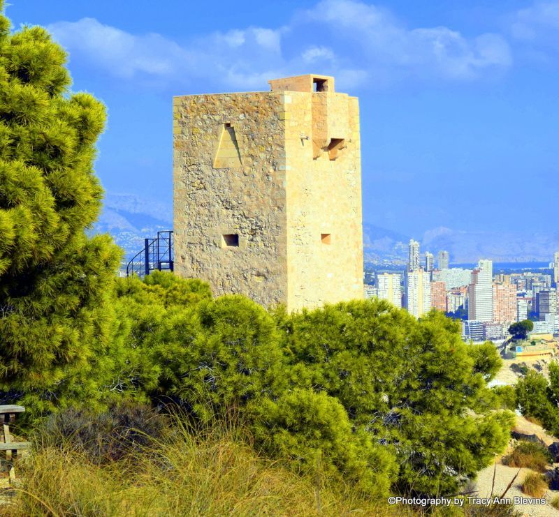
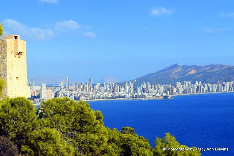
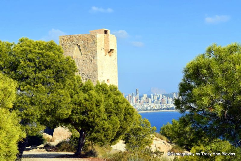
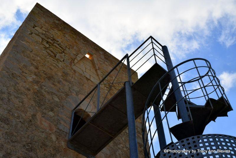
La Cala - Watchtower of l'Aguilò
Take a walk to the Renaissance watchtower of l'Aguilò, situated the other side of La Cala Bay, this is actually classed as being in the municipality of Villa Joyosa.
There are two routes but the longest is the easiest and begins on the road as you head out of La Cala from the beach, the entrance is on the left, its a comfortable paths to walk with some steep climbs, so go with appropriate footwear, at the foot of the tower, the views are breath taking and there are places to rest. The walk will take approximately 90 minutes (about 1.5km), make sure you take some water with you as there is nowhere to obtain any on this walk, there are also no toilets.
From here there are various coastal paths that lead to Villa Joyosa.
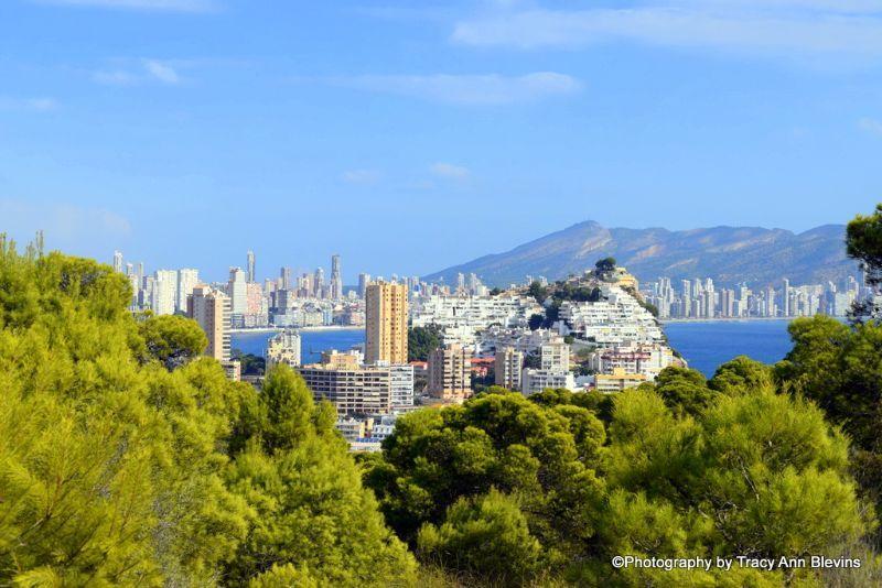
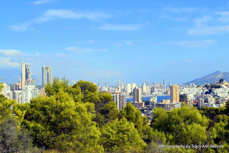
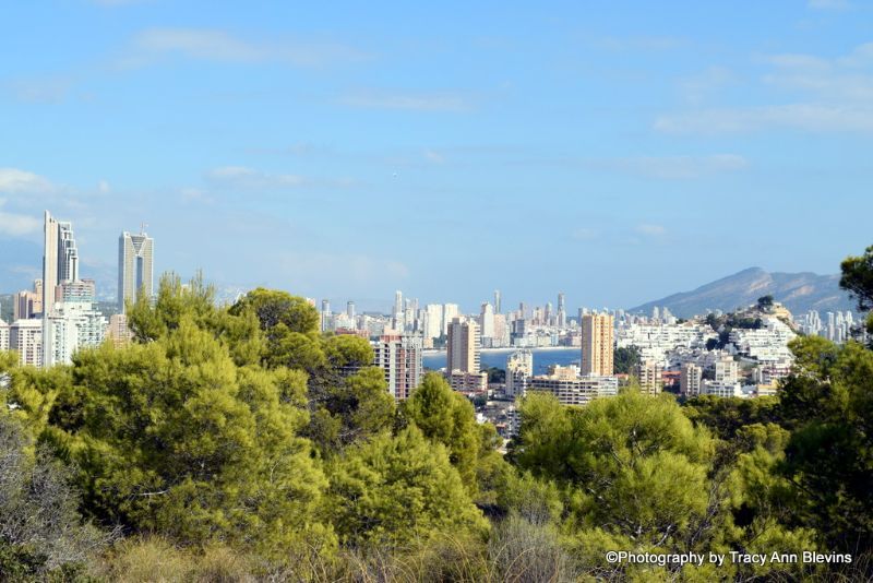
The photos below were taken on 19th November 2020


Walks in and around Benidorm
Parks in Benidorm
There are four main parks in Benidorm that are perfect for a lovely relaxing stroll.
L’Aiguera Park - Known as the great centre of Benidorm.
You can find its main entrance by the Town Hall in the Old Town, to walk from top to bottom it will take you around 15-20 minutes. It’s the park that connects the old town with the new, crossing it you will come across the Julio Englasias Ampetheatre, which is used by the town to organize musical and cultural events. At the very end you will find the Benidorm Bull ring.

Note, in the main areas of the park dogs are not permitted, but up past the bullring you will find a small dog park.
Foietes Park, near the sports centre in the old town, is another green space that you will find in Benidorm. Just like l’Aigüera, in this park you will find different playgrounds, recreational areas for young and old and shady areas with tables designed for picnics.

Adolfo Suárez leisure and recreation area and pet park. This covers an area of 1,460 square meters and includes a fenced dog park in which different structures have been installed so that pets can move freely, jump and run. In addition, the area is equipped with gravel and pipeclay pavements, there are plenty of picnic table and even Bio healthy exercise areas.
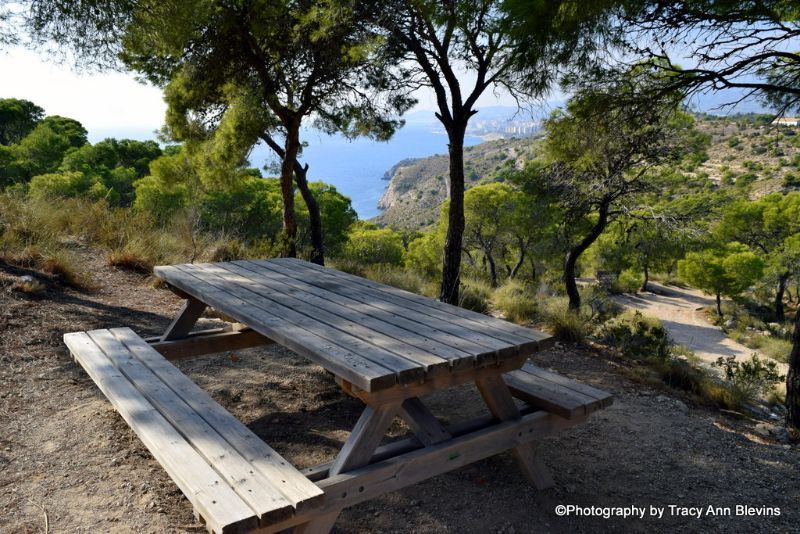
El Moralet Park, also known as the Forest of Foietes y Moralet - A green zone of more than one million square meters that serves as a recreation area with more than 17 kilometres of hiking trails and cycling routes that partly go over an old train tracks.
Several areas can be found with picnic tables and for the children swings, climbing frames, ziplines etc are available.
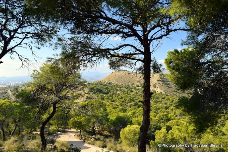
Explore the surrounding area.
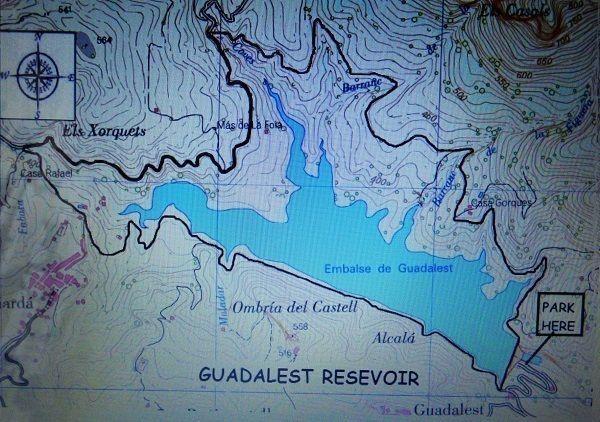
Guadalest Reservoir, Embalse de Guadalest
There is lovely walk around the reservoir, on minor roads and paths The journey is about 12.7km (7.9 miles). see map below. Find More information on Guadalest itself HERE
For the more serious hikers
ALWAYS CHECK THE WEATHER CONDITIONS BEFORE HEADING INTO THE MOUNTAINS
If climbing take plenty of time and allow yourself enough daylight hours, mountain rescues are not uncommon
Leave your detail, name, telephone number and route etc with someone before you attempt the climb.
Never go on your own.
It can also get very cold at the summit so be prepared. Take plenty of water and food with you.
Wear the proper clothing and shoes etc.
If it becomes too difficult turn back. SAFETY FIRST, ALWAYS.
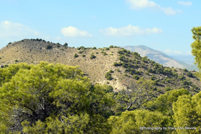
The 7 Peaks of the Sierra Helada
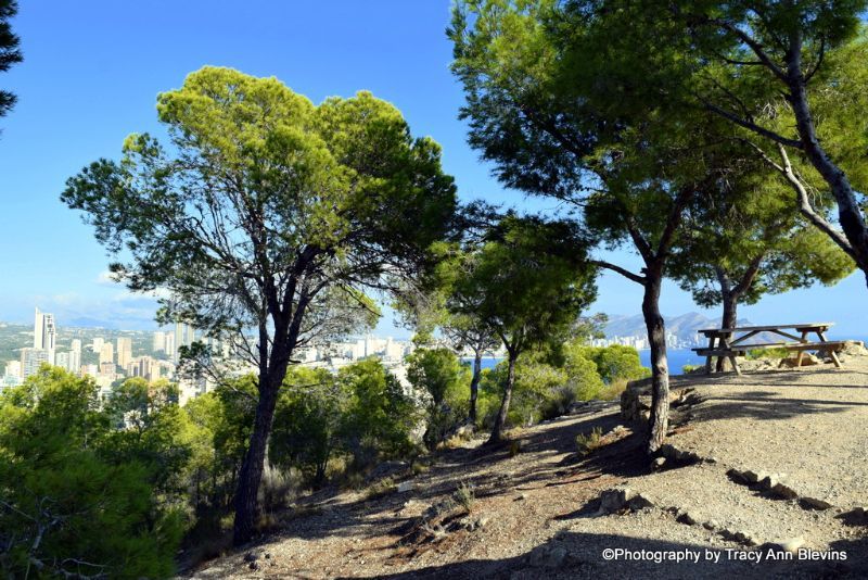
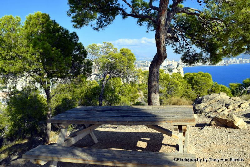
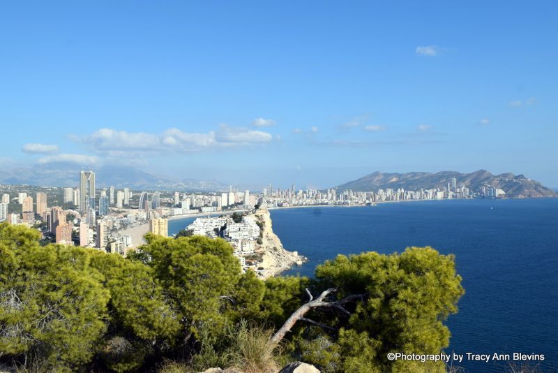
Feeling fit? you can walk from the Benidorm cross to Albir. This is the most challenging walk of the Sierra Gelada natural park as the walk passes along the seven peaks between Benidorm and Albir. You can walk in either direction but remember to arrange transport at the other end as it is one way. The panoramic views are breath-taking, and well worth all the climbing up and down.
From Benidorm the walk starts at the Cross. There is then a marked pathway up and down seven peaks, before arriving in Albir at the Sierra Gelada visitor centre. Many walkers prefer to get a lift to the Cross.
This is only recommended for people with moderately high fitness levels and full mobility. Distance 11km one-way trip. Moderately difficult, but worth the challenge! Allow 4.5 hours.
Sierra Cortina, Finestrat
The Sierra Cortina is another marvellous experience – quite an easy route along the crest which gives you some of the most panoramic views of Benidorm and the other coastal resorts of the Marina Baja region.
If you head to Residencia Golf Bahia, from the roundabout, it's fairly obvious which road to take and about 100m up this residential road you will see a path that leads steeply uphill. This path takes you straight to the high point, where there's a cairn and cross "Alto de Cortina
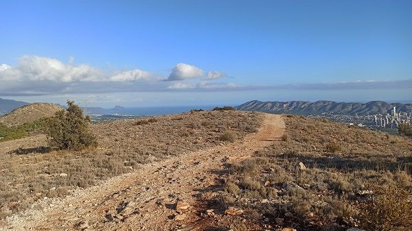
Photo from Benidorm Seriously Member Gerrich Schoels
Walks in and around Benidorm
There are three routes you can take: “Volta de la Serra” is the most common route to the peak, the second route “Ascension Puig Campana is a bit more complex, and the third route is the “Cami de la Cove del Roget”.
The most direct ascent is from Finestrat, starting at Font del Molí, heading towards the mountain's south face. From here, a long, steep, scree slope can be seen. It is possible (although unpleasant) to ascend the scree directly or follow the trail which runs parallel to the scree slope on the right-hand side. Both the trail and the scree slope are marked with fading red painted symbols. The trail is easy to lose in mist so only attempt this in good clear weather conditions. From the top of the scree slope, the trail turns east towards the summit. There are lots of criss-crossing paths here, which makes the route very difficult to follow.
The routes are classed as low to medium difficulty, so they are apt for all hikers and the duration of the routes vary between 4 to 6 hours depending on the route chosen. All routes start from the Font del Moli.
Sierra Bernia Mountain
This mountain with a length of 9 km between the Algar's valley river and Mascarat's ravine, divides the Marina Alta and the Marina Baixa. In it, is the Mascarat, a huge and spectacular rocky ravine which reaches the highest point of Bernia (1126 meters) this mountain covers 1,900 hectares and the towns of Altea, Calpe, Callosa d'Ensarria, Benissa and Jalon (Xaló)
The route begins at Font del Garrofer (Altea La Vella). There is a steep path which leads up to Les Penyes ravine, from there the trail goes between abandoned crop patches which then lead to a recreational area. Continuing on you will reach the beginning of a circular trail. To walk this trail, you must go in the direction of Font Bernia, which are the ruins of an old fortress, following the trail you will arrive at Casas de Bernia, Font de Bernia and El Forat. Finally passing through the Forat, you will once again be back at the circular trail.
At the highest point (1,128 meters above sea level) you can see the entire coastline from the Cape La Nao in Javea to the port of Alicante. On a clear day you can even see the island of Ibiza.
Length: 15,2 km (Round trip), Duration: 4h 35 min
Marco Polo and the DownHill Bike Ride also provide guided walks, find more information HERE
What are your favourite walks, have we covered them? If not comment below.
PLACES TO VISIT COSTA BLANCA NORTH
PLACES TO VISIT, COSTA BLANCA SOUTH
Like/follow us on Facebook or follow us on Twitter